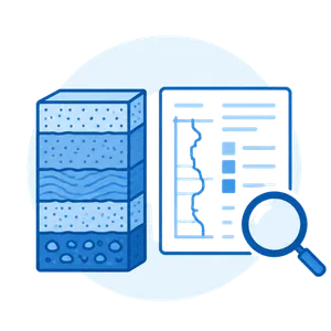
Jasa Topografi untuk Memahami Kondisi Tanah Secara Menyeluruh
We deliver fast results, comprehensive analysis, and actionable technical recommendations you can implement immediately.
- Pengujian Lapangan
- Investigasi Kondisi Bawah Permukaan
- Pengujian Laboratorium
- Analisis & Pelaporan

We don’t just execute projects—we ensure you get the highest-precision data, the most efficient workflow, and outcomes that directly boost your mining productivity.
01
20+ Standardized Geotechnical Equipments
Supported by 20+ industry-standard geotechnical testing instruments — including Spindle, Jacro, and MP types, Delivering soil data that is accurate, consistent, and dependable for every project.
02
10+ Units of Topographic Survey Equipments
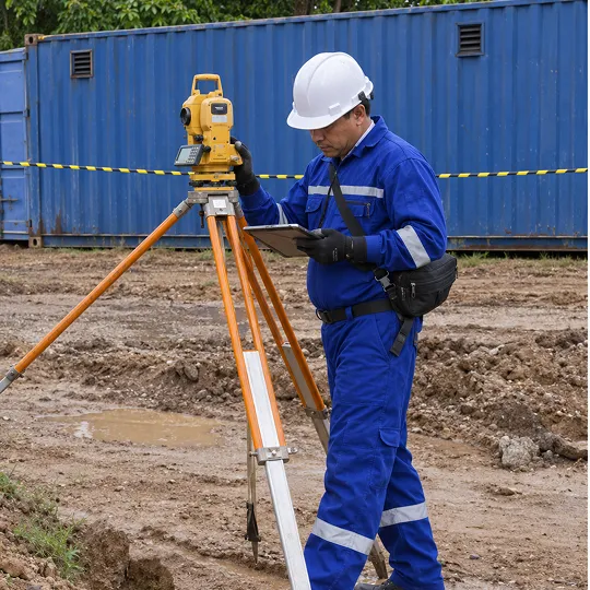
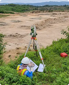
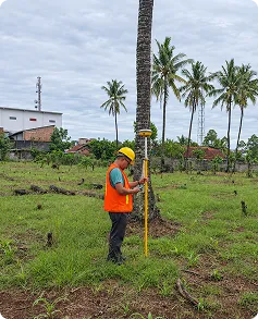
Equipped with 10+ high-performance survey instruments—from Drone LiDAR, RTK, Total Station to Marine Bathymetry , delivering precise, fast, and highly accurate mapping.
03
5 Integrated Geoelectrical Equipments
Dilengkapi lima device sistem geolistrik terpadu untuk pemetaan bawah permukaan yang lebih akurat, cepat dianalisis, dan siap mendukung keputusan eksplorasi
04
10+ Experienced Expert Professionals
Didukung engineer dan tenaga teknis berlisensi, berpengalaman dalam proyek skala kecil hingga nasional. setiap pekerjaan kami bukan sekadar eksperimen


Apa Itu Soil Investigation?
Data yang diperoleh digunakan untuk memahami kondisi bawah permukaan dan menjadi dasar analisis geoteknik sesuai kebutuhan proyek, baik untuk pertambangan, infrastruktur, pengembangan lahan, maupun berbagai pekerjaan engineering lainnya.
- Kondisi dan karakteristik lapisan tanah
- Parameter geoteknik tanah
- Perubahan kondisi tanah terhadap kedalaman
- Data pendukung analisis dan perencanaan teknis
A complete measurement solution from planning to field execution.
A comprehensive range of geoscience services designed to help you make decisions with greater accuracy, clarity, and confidence.

LiDAR Topographic Survey
High-precision laser-based mapping for fast, detailed, and accurate results.
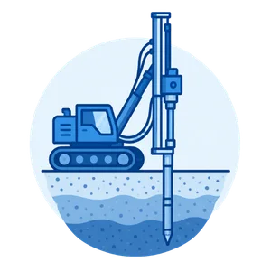
RTK Topographic Survey
High-precision measurements with guaranteed speed and accuracy.
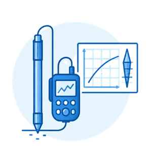
Bathymetric Survey
Accurate water-depth mapping to support your project decisions.

Aerial Photography
High-quality aerial imagery for sharper and clearer site analysis.

Benchmark Construction
Establishing strong control points as the foundation for mapping accuracy.
Workflow / Methodology
Alur kerja Kami
Proses investigasi dilakukan secara sistematis dan disesuaikan dengan kondisi lapangan serta kebutuhan proyek untuk memperoleh data geoteknik yang dapat diandalkan.

Penentuan Kebutuhan & Rencana Investigasi
Identifikasi kebutuhan proyek, kondisi lokasi, serta penentuan metode, titik, dan kedalaman investigasi yang sesuai

Persiapan & Pelaksanaan Investigasi Lapangan
Persiapan titik pengujian dan pelaksanaan investigasi sesuai metode yang ditentukan, seperti Sondir/CPT, Borehole, SPT, atau metode lainnya sesuai kebutuhan

Sampling & Pengujian Laboratorium
engambilan sampel tanah pada titik dan kedalaman tertentu untuk dilakukan pengujian laboratorium sesuai parameter yang dibutuhkan

Pengolahan & Analisis Data
Data lapangan dan laboratorium dikompilasi dan dianalisis untuk mengevaluasi kondisi serta parameter geoteknik tanah, termasuk analisis stabilitas lereng apabila diperlukan

Interpretasi & Pelaporan Teknis
Hasil investigasi disusun dalam laporan teknis yang memuat kondisi bawah permukaan, hasil pengujian, interpretasi data, dan rekomendasi sesuai kebutuhan proyek
Dipercaya Perusahaan Besar , Siap Mendukung Proyek Anda Berikutnya
Client trust is our foundation. Join the ranks of companies that choose BTS as their trusted technical partner.


See how our services empower projects to run safer, smarter, and more efficiently.


Contact our expert team for technical recommendations, optimal methods, and project cost estimates — and claim your exclusive CASHBACK offer! (T&C Apply)
